Thomas Freeman and James Weakley were instrumental in conducting much of the surveying of the public lands that make up the state of Alabama. Both are buried here at Maple Hill.
Thomas Freeman came from Ireland before 1800. His early surveying work included the layout of Washington D.C. In 1807 he came to Alabama to survey the newly purchased Indian lands. .
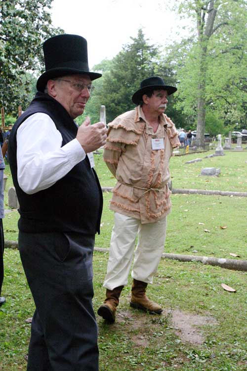
This marker in Maple Hill Cemetery shows the spot that Thomas Freeman established as the Meridian for layout of lands in North Alabama. James Weakley came later as an assistant and later became Surveyor General of Alabama.
Alabama was one of 30 states that benefited from the public land survey system developed by a committee headed by Thomas Jefferson in 1785. The plan for this system called upon each state having a base line meridian to commence from a given point, and to have a grid system spread out into townships to include sections. The dimensions of a township is a square six miles on a side and is subdivided into 36 sections, each a square mile.
The survey of public lands was urgently needed to facilitate sale of land to the many settlers moving to the state. .